Merrimack Valley Planning Commission
We foster a cooperative effort among our communities in the Merrimack Valley of Massachusetts to resolve common, regional problems, to allow our communities to plan jointly, and to promote with the greatest efficiency and economy the coordinated and orderly development of the region and the general welfare of its residents.
meeting specific needs in our community
Our Key Program Areas
Community & Economic Development
Our work in the region is dedicated to cultivating a prosperous, inclusive, and thriving region through a diverse and sustainable economy.
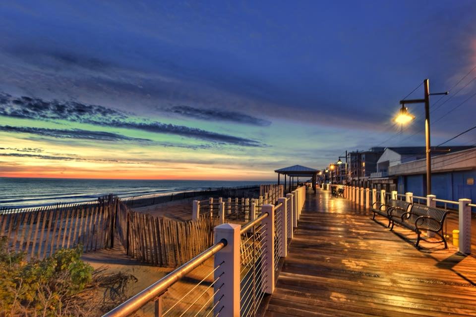
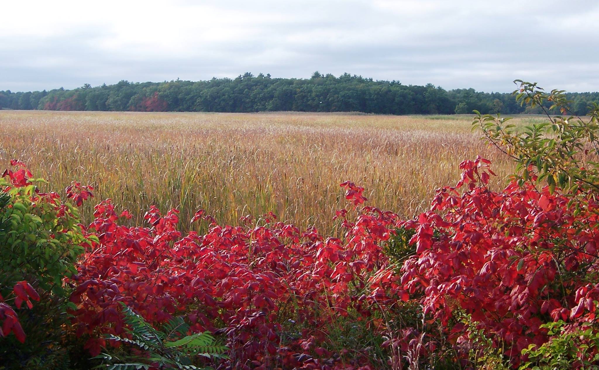
Environment
We work with our communities and concerned citizens to protect the region’s natural resources and bring development and preservation balance to the Merrimack Valley.
GIS & Information Technology
In a dynamic and evolving technical landscape, we bridge the gap between technology and solutions that help our communities.
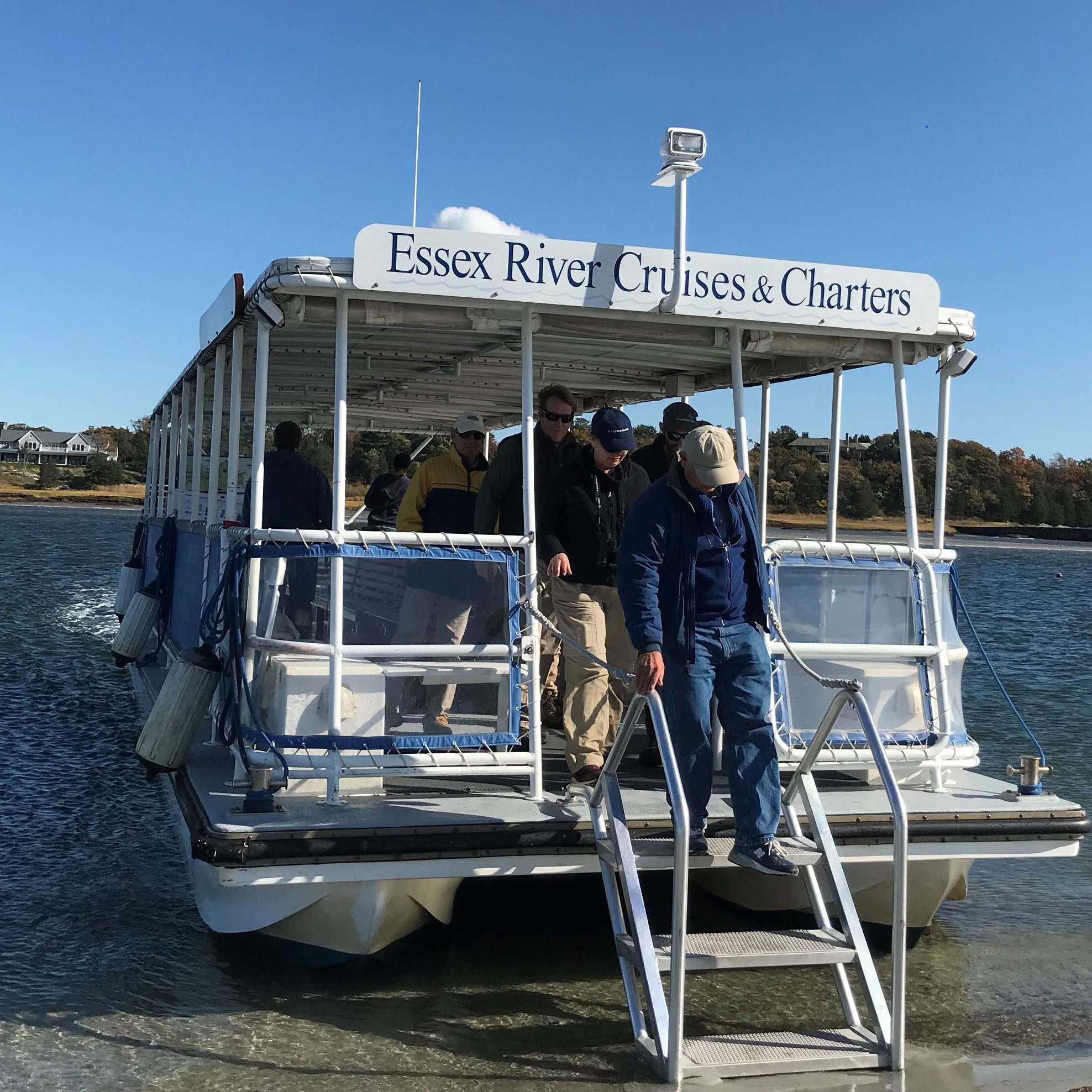
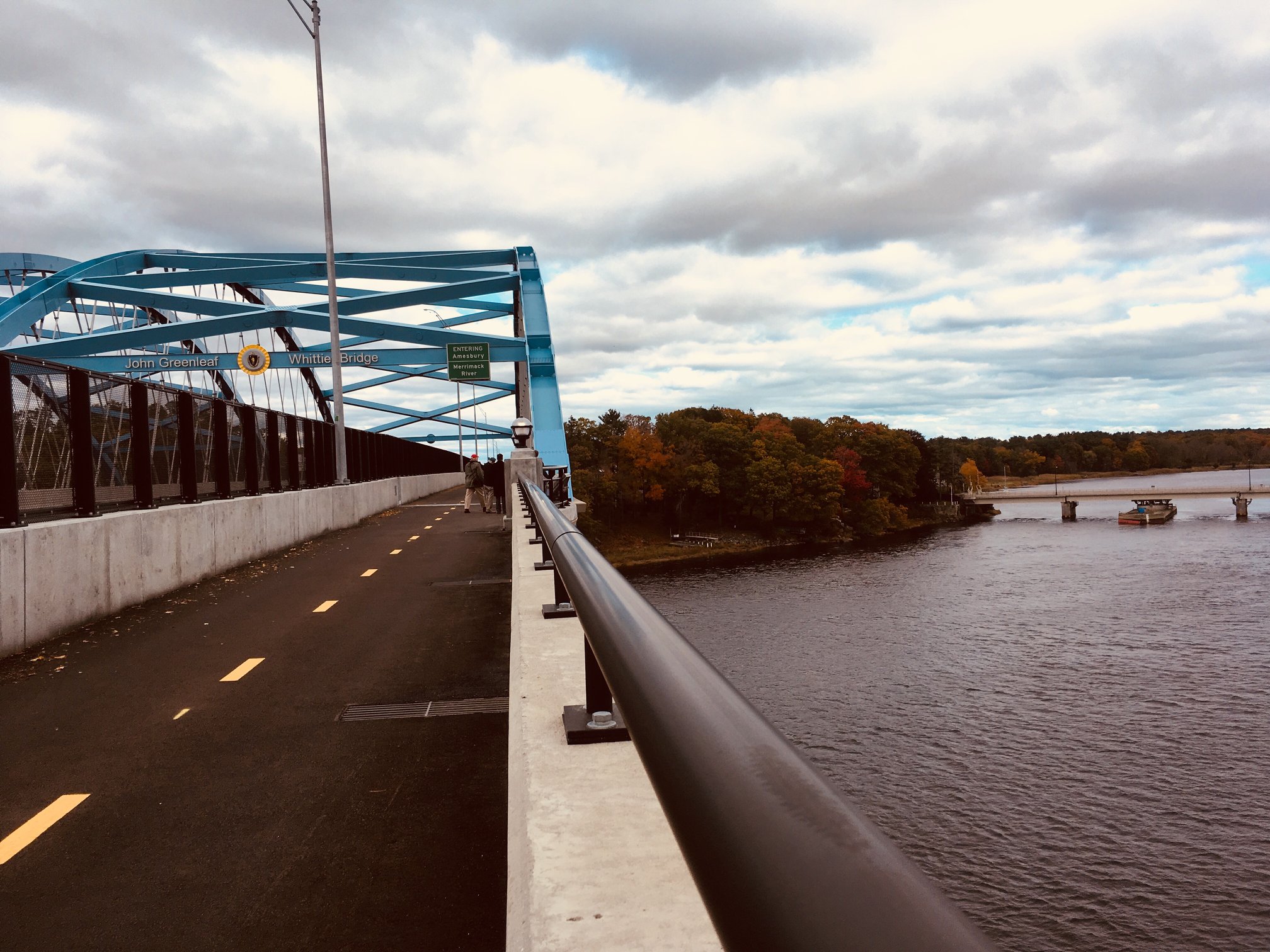
Transportation
Collaborating with our communities and partners to ensure that the Merrimack Valley has a dynamic multi-modal transportation network that works for all people.


see what’s happening in the valley
Upcoming Events
get in the loop
News & Announcements
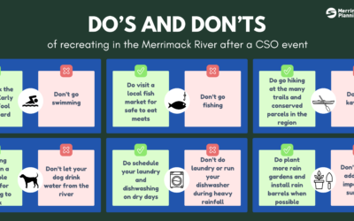
Combined Sewer Overflows: Do’s and Don’ts
Combined Sewer Overflows: Do's and Don’ts Combined Sewer Overflow (CSO) events occur when there is heavy rainfall that causes a combined sewer system to get overwhelmed, causing household sewage to be discharged into a nearby body of water. We experienced the worst...

Combined Sewage Overflows: Frequently Asked Questions
CSO's in the Merrimack River We experienced the worst year on record for Combined Sewage Overflow (CSO) events in the Merrimack River in 2023, with over 2 billion gallons of sewage being discharged into the river, toppling the previous record of ~ 800 million gallons....

Earth Day Activities
Spring has sprung in the Merrimack Valley! As Earth Day approaches, local communities are gearing up for a celebration of our planet through a variety of efforts, and MVPC has rounded them up below for easy planning! Events...