
Cartography
GIS provides the power to fully utilize information and discover relationships between geographic data. Maps connect information with the surrounding world to help assess, implement, and evaluate our decisions. Maps can also tell stories from the past, depict our current surroundings, and bring life to plans for the future. MVPC has demonstrated expertise in cartography and regularly creates maps depicting a variety of themes.
Working with municipal departments in the region, the GIS staff have created maps showing property parcels, zoning, open space, the transportation and transit network, utility infrastructure, open space and historic inventories. These are just a few examples of the broad range of mapping available through MVPC’s GIS Program.
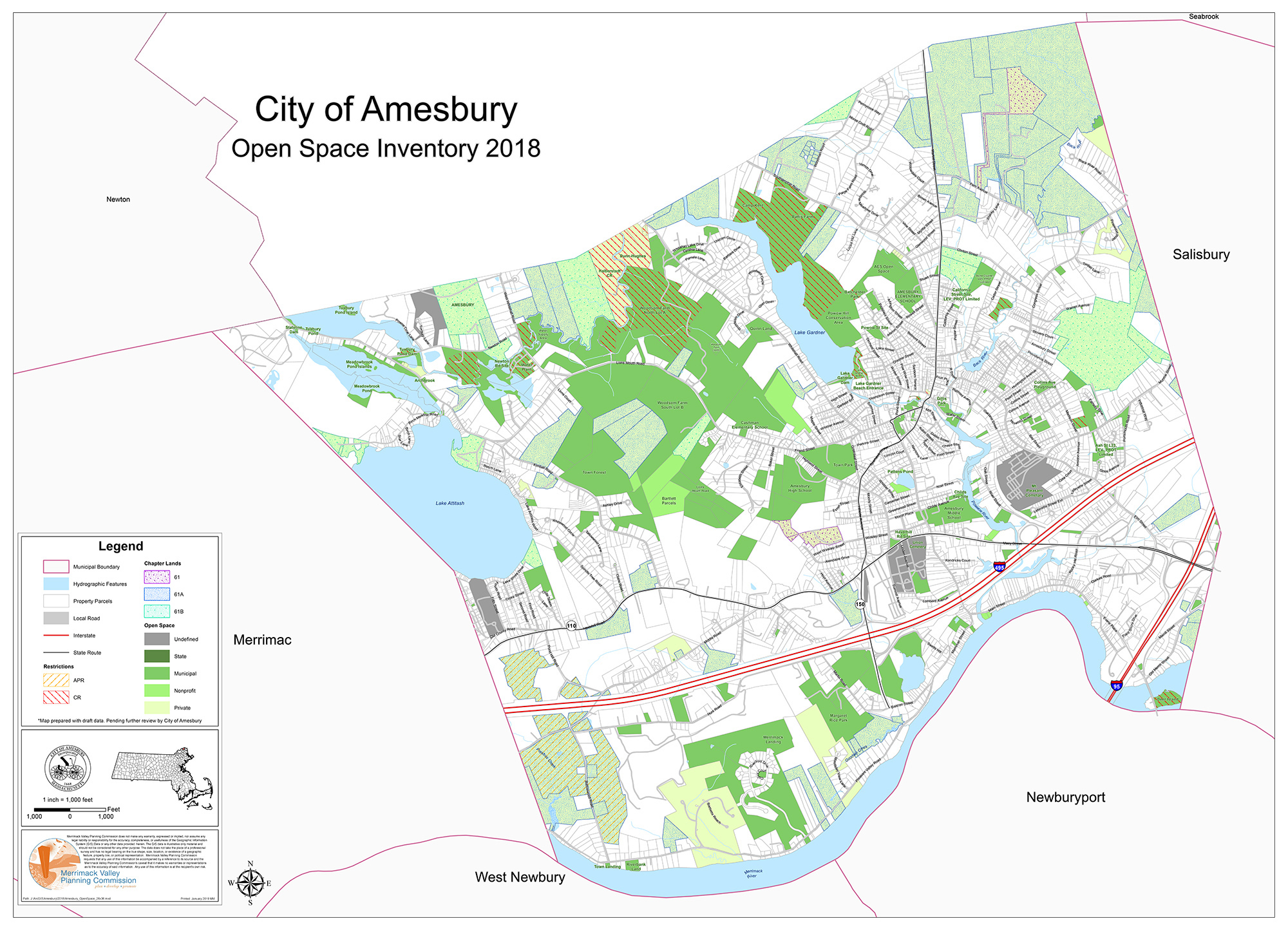
City of Amesbury
City of Amesbury Open space
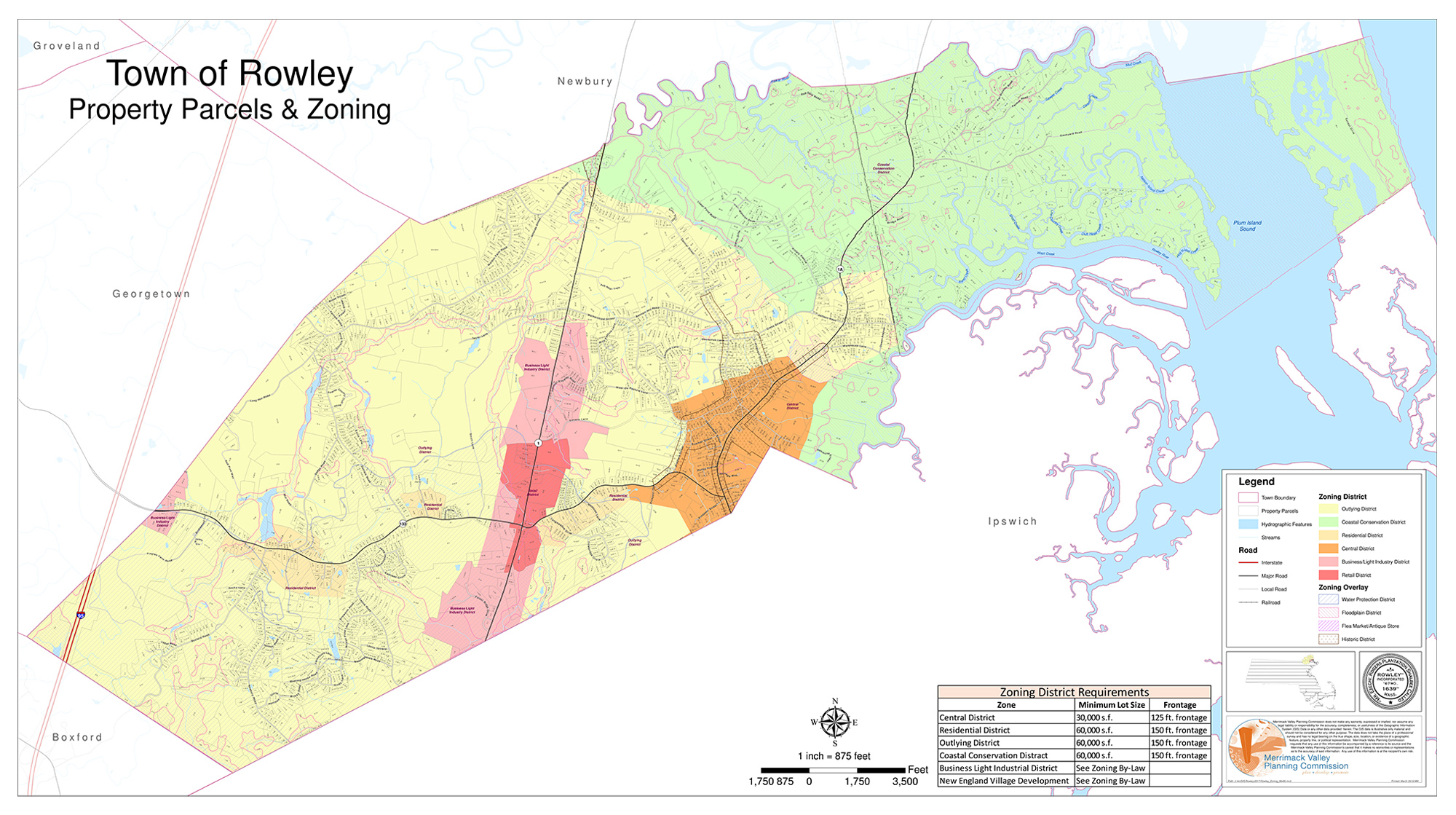
Town of Rowley
Town of Rowley Zoning map
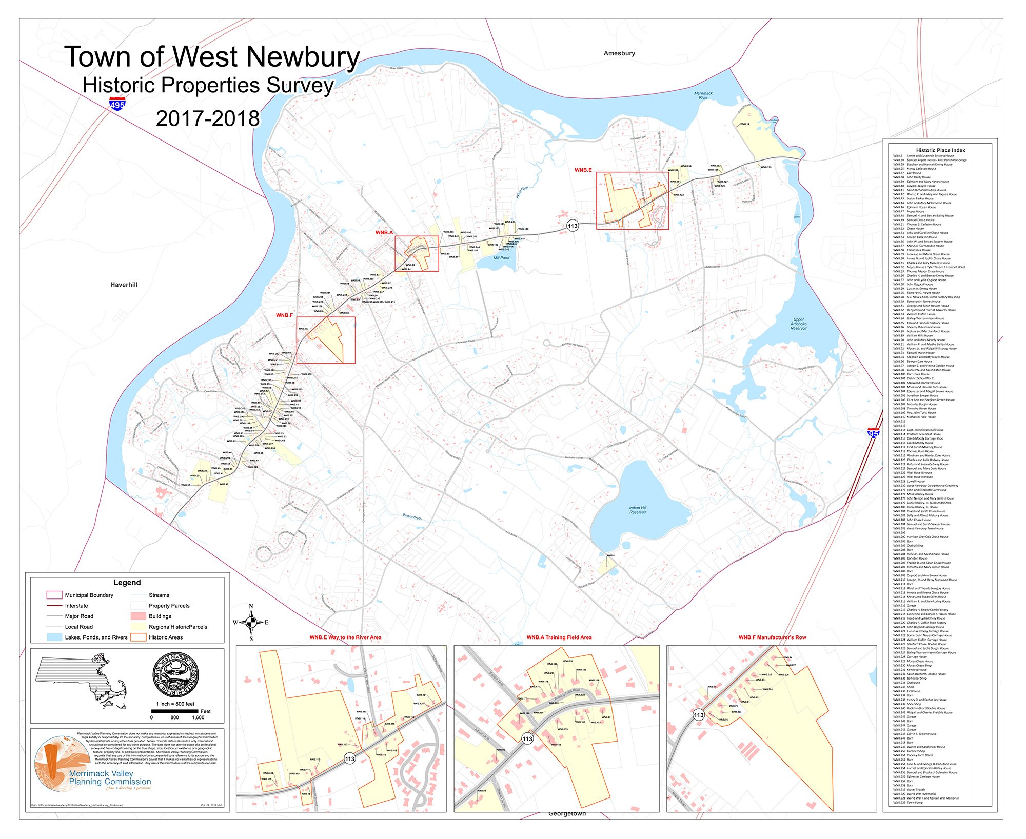
Town of West Newbury
Town of West Newbury Historic property inventory
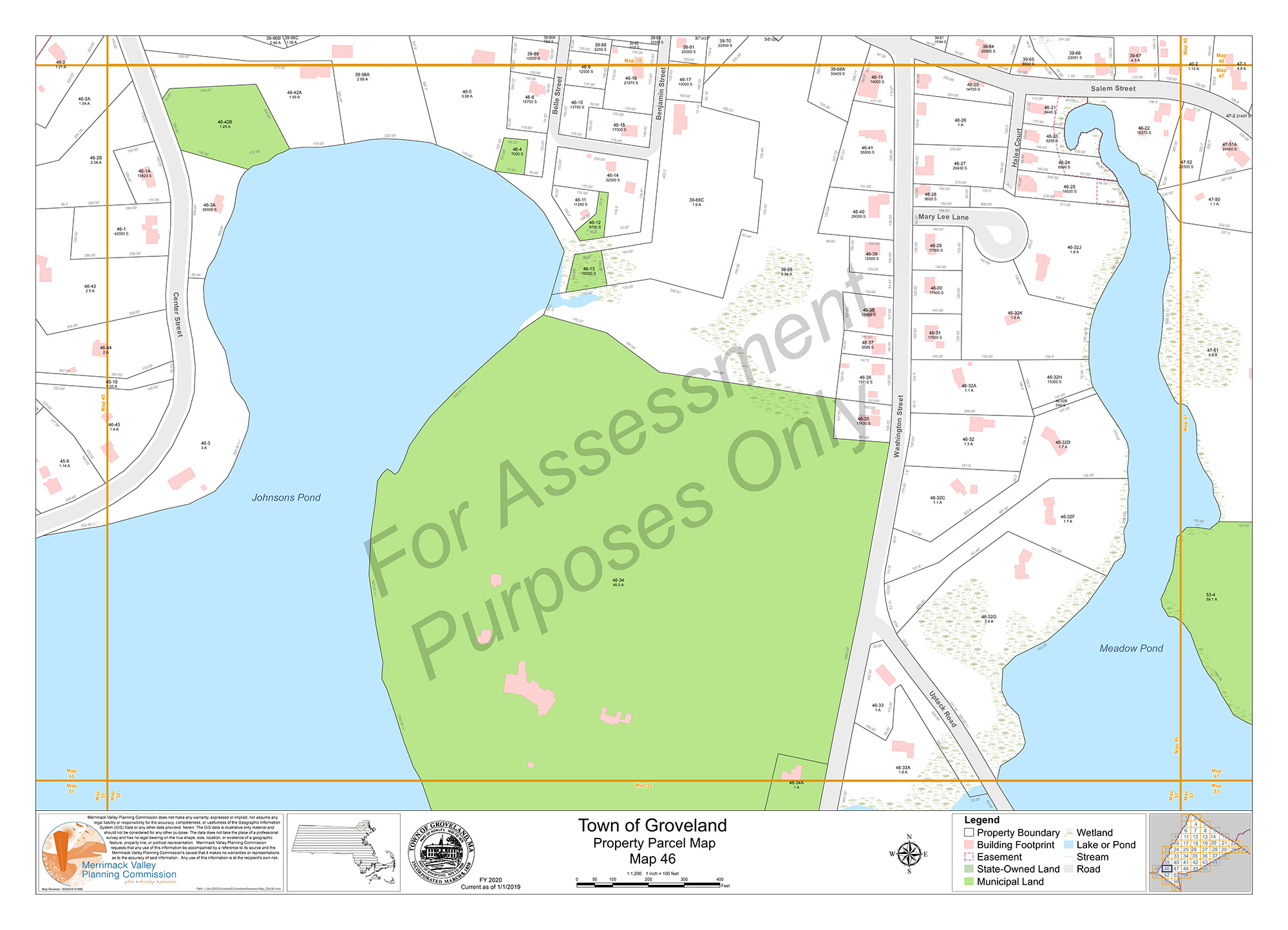
Town of Groveland
Town of Groveland Parcel map