Natural Hazards Mitigation Planning
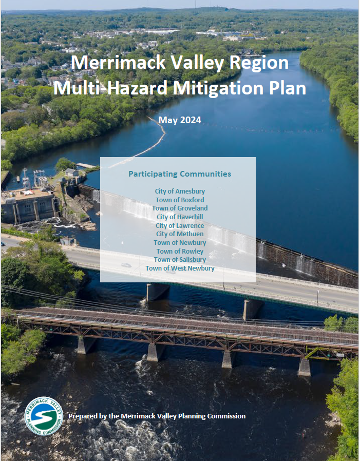
The final Merrimack Valley Region Multi-Hazard Mitigation Plan is now available
Hazard Mitigation Planning is the process of identifying natural hazards and assessing the risk they pose to critical community resources. By identifying this risk and creating long-term strategies, communities can address vulnerabilities and reduce the loss of life and property.
The formal process of hazard mitigation planning emerged as part of the Disaster Mitigation Act of 2000. This act amended the earlier Stafford Act by establishing a national program for pre-disaster mitigation. As part of this act, all municipalities are required to have a FEMA-approved Multi-Hazard Mitigation Plan in place and to ensure that the plan stays active to address changing hazards and risk. To maintain an active plan, regional and local jurisdictions must review and complete revisions every five years to address changes in development, progress in mitigation efforts, and changes in priorities. The most recent plan update was finalized in February 2025, and the Merrimack Valley Region Multi-Hazard Mitigation Plan is now active and will remain in effect through February 2nd, 2030.
An active hazard mitigation plan offers a number of benefits, including the opportunity to:
- Maintain a comprehensive and local assessment of risk
- Review vulnerabilities and create tangible action steps to manage and mitigate risk
- Apply and receive federal funding to support pre-disaster mitigation and recovery
The Final Merrimack Valley Hazard Mitigation Plan is Available
The Merrimack Valley Region Multi-Hazard Mitigation Plan has received final approval from the Massachusetts Emergency Management Agency (MEMA) and the Federal Emergency Management Agency (FEMA).
To review the full Plan, please click here. To view the Plan Appendix, please click here.
Please reach out to the Merrimack Valley Environmental Program Team if you have any questions or would like to learn more: [email protected].
Four Main Components of a Hazard Mitigation Plan:
Identify Natural Hazards
Identify and describe the natural hazards (e.g. hurricane, drought, coastal erosion) that can occur in your region and their associated frequency, intensity, and risk.
Map Community Lifelines
Locate critical infrastructure, services, and resources within your community that act as lifelines to sustain day-to-day operations.
Conduct a Vulnerability Assessment
Overlay the identified hazards and community lifelines to conduct a vulnerability assessment to understand community-specific risk.
Create Mitigation Goals & Action Plan
Develop a set of mitigation goals and an associated action plan to actively minimize vulnerability and risk within your community.
Merrimack Valley Region Multi-Hazard Mitigation Plan 2024
The first Regional Multi-Hazard Mitigation Plan for the Merrimack Valley was written in 2008 (read 2008 plan). The plan was then updated in 2016 (read 2016 update). In December 2022, MVPC kicked off a second update to the Regional Multi-Hazard Mitigation Plan. The updated plan received final approval from FEMA and MEMA on February 3rd, 2025.
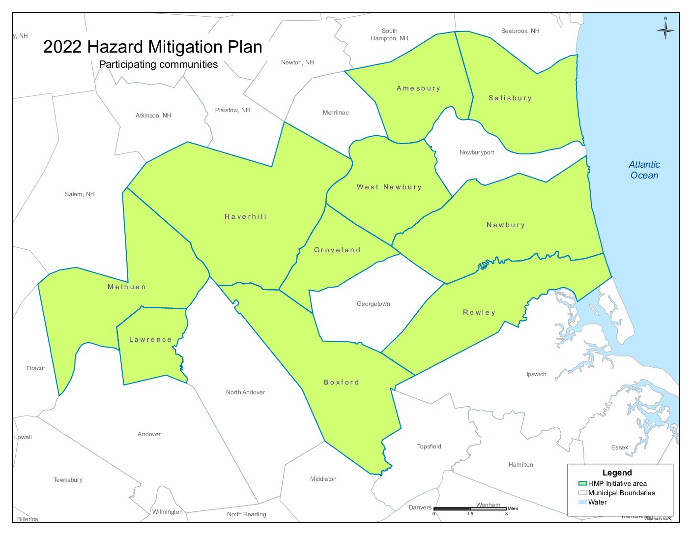
The Following communities participated in the 2025 Plan update:
-
Amesbury
-
Boxford
-
Groveland
-
Haverhill
-
Lawrence
-
Methuen
-
Newbury
-
Rowley
-
Salisbury
-
West Newbury


