MIMAP
MIMAP has been really helpful for our staff because it’s easy to operate and reliable, The GIS folks from MVPC are always ready to help if we have any issues.
About MVPC
We foster a cooperative effort among our communities in resolving common, regional problems, to allow our communities to plan jointly, and to promote with the greatest efficiency and economy the coordinated and orderly development of the region and the general welfare of its residents.
About MVPC
About MVPC
We foster a cooperative effort among our communities in resolving common, regional problems, to allow our communities to plan jointly, and to promote with the greatest efficiency and economy the coordinated and orderly development of the region and the general welfare of its residents.
Resource Center
Regional Engagements
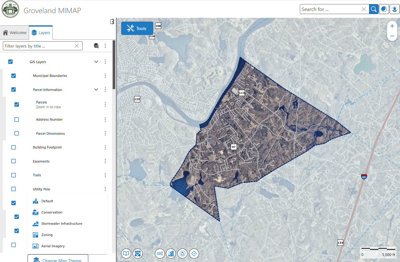
For nearly twenty years, MIMAP (Municipal Information Mapping Access Program) has helped MVPC communities easily access local GIS data. It started as a way to make property information available without the need for special software or complicated systems. Since then, it’s become one of our most popular services—with almost every community using it.
The new version features a cleaner look, faster performance, and better tools to help you get what you need – whether you’re researching assessment data, looking for zoning information or want to see a property in Google Street View. Whether you’re a long-time user or just getting started, this is the best version of MIMAP yet.
MIMAP has been really helpful for our staff because it’s easy to operate and reliable, The GIS folks from MVPC are always ready to help if we have any issues.