Drone Program
Unmanned aerial vehicles (UAVs) or ‘drones’ are an emerging technology that are changing the face of the aerial imagery and remote sensing world, making the collection of data that was only ever possible from planes or satellites far more accessible. While often sensationalized in media, these vehicles are an invaluable asset to anyone looking to collect aerial data.
When used for commercial purposes, drones must be flown by licensed pilots under 14 CFR Part 107. These pilots must pass a certification exam and renew their licensing every year, ensuring knowledge of current laws protecting bystanders and their property from the misuse of equipment.
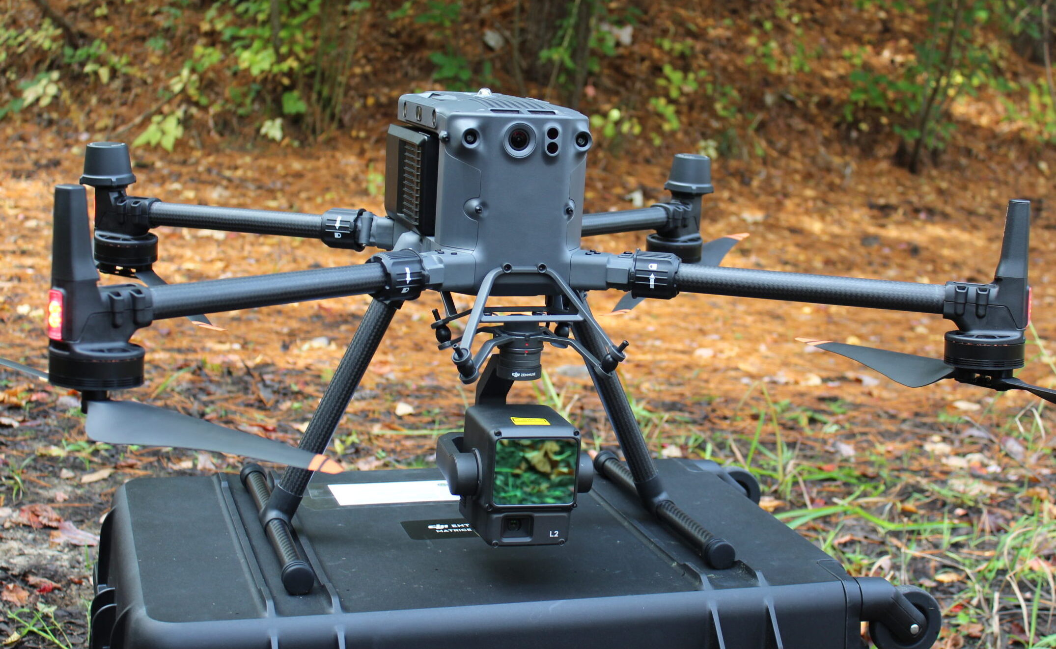
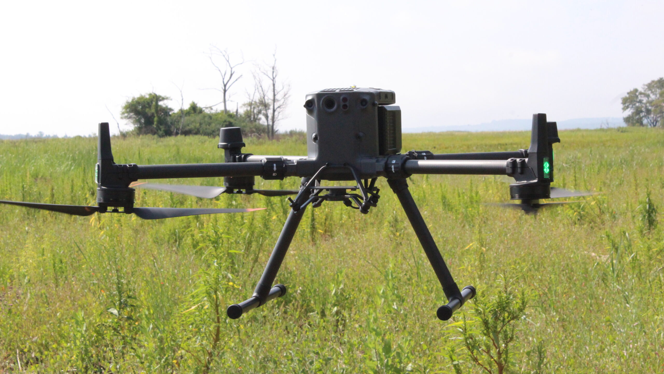
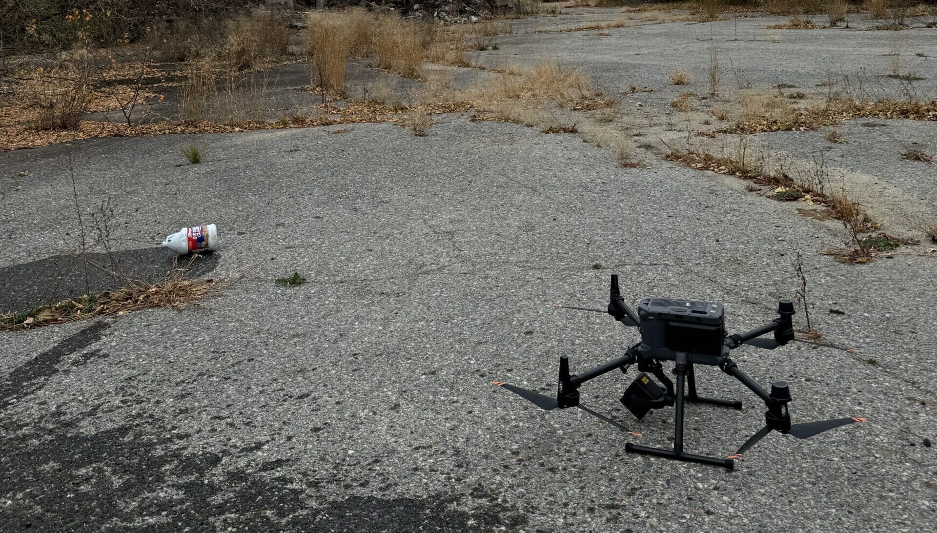
Starting in May of 2024, MVPC acquired its first quadcopter – the enterprise level DJI Matrice 350RTK, equipped with LiDAR capabilities and high-precision GPS positioning. Affectionately named “Dronah Williams” following a naming contest, the drone has flown missions across our communities by our in-house pilots.
Drones for Data and Imagery
Data Collection
The Matrice, equipped with the DJI Zenmuse L2 LiDAR sensor, is capable of taking photographs and videos in 4k resolution as well as collecting LiDAR and GPS data.
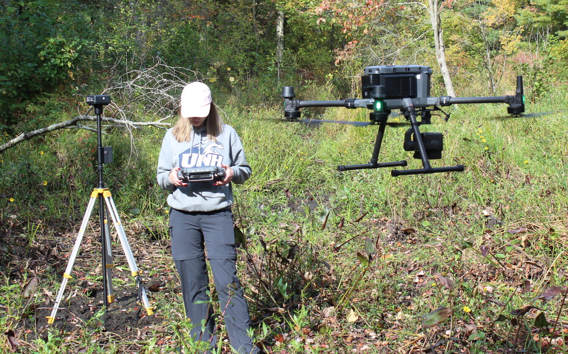
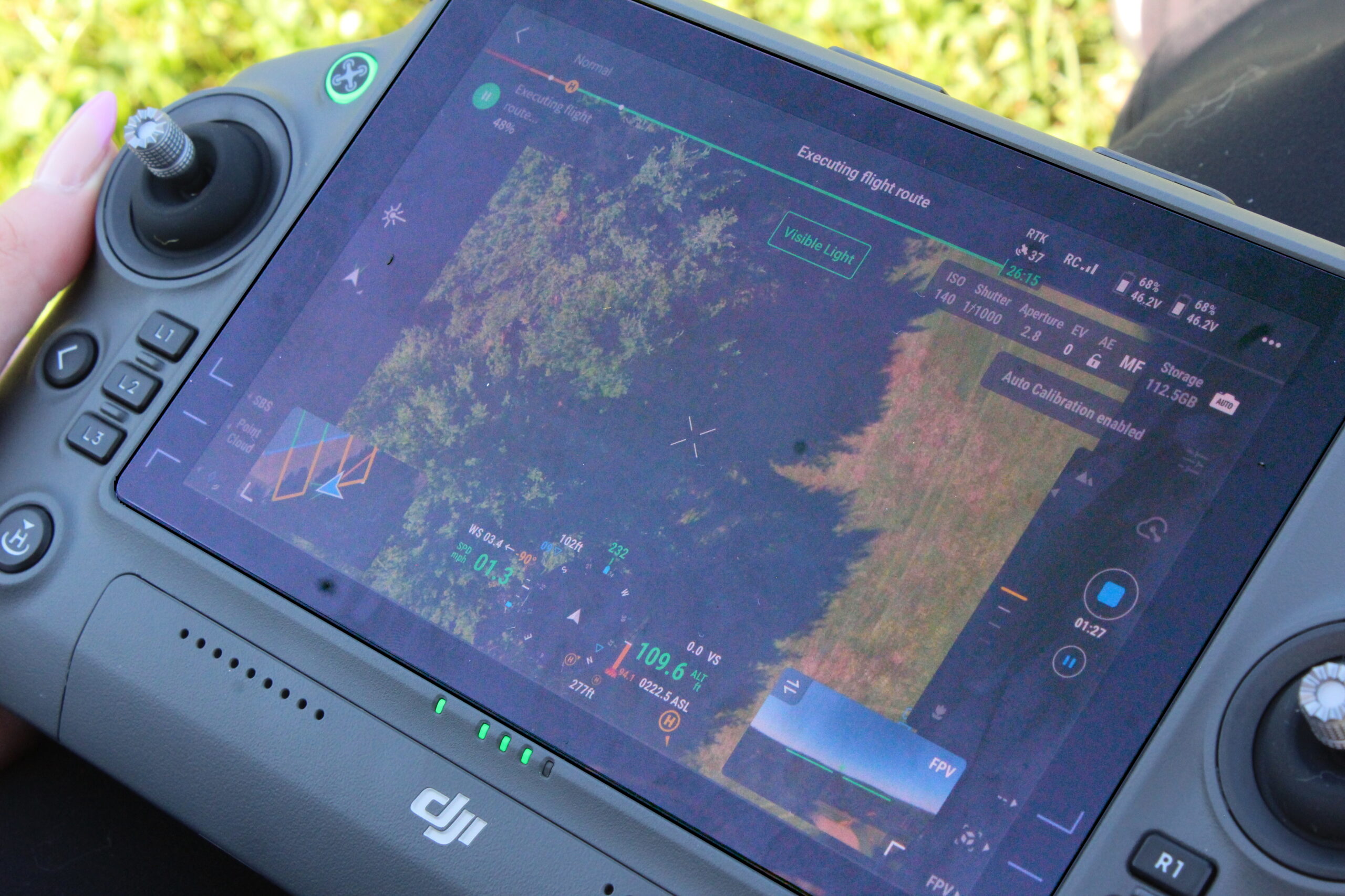
When given a flight mission, the drone can essentially fly itself, collecting data as it goes under the watchful eye of its pilots.
Analysis
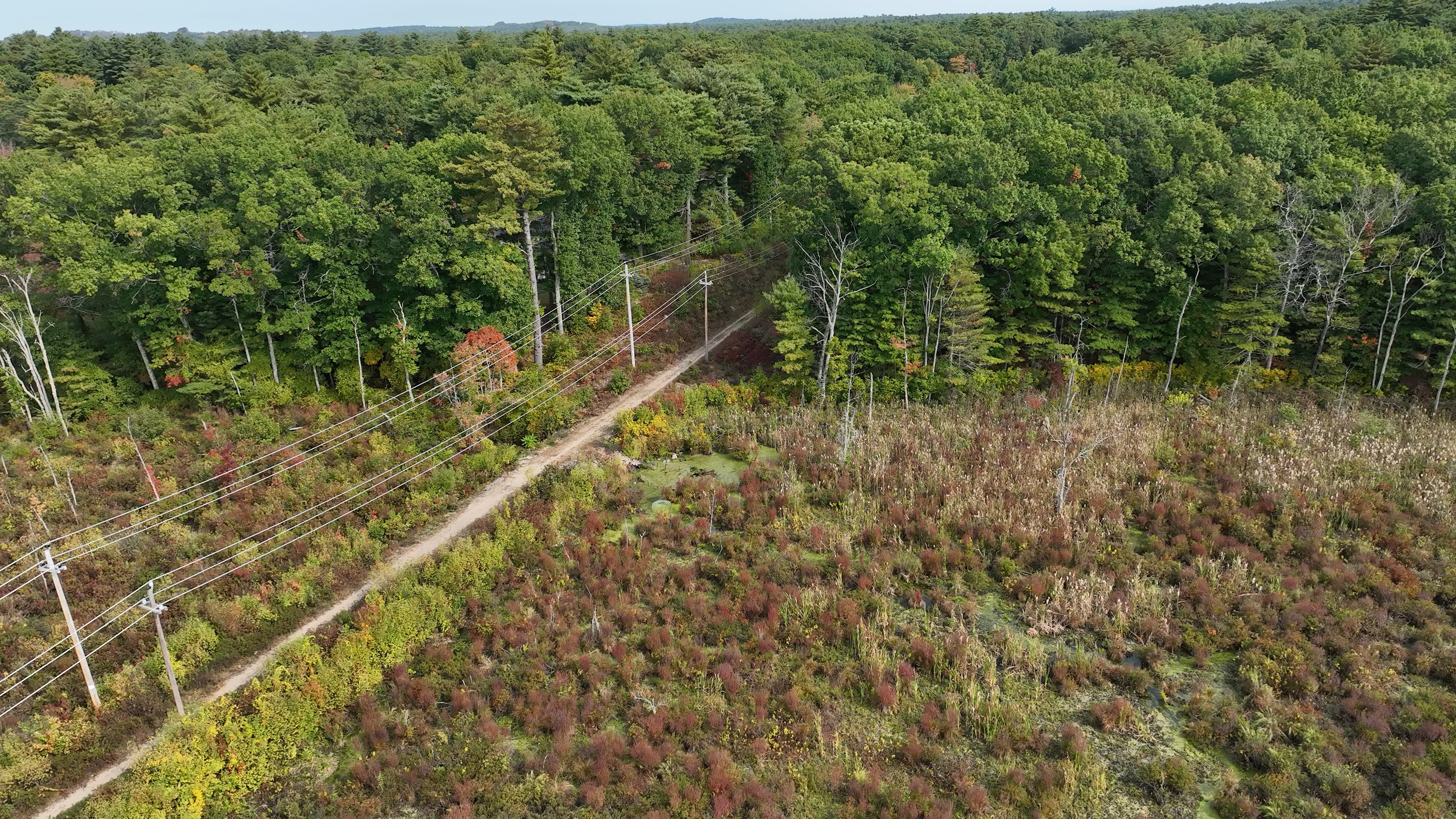
When flown for remote sensing missions including LiDAR, the drone collects data that allows MVPC to create point clouds from which accurate terrain models, 3D imagery, and other information can be derived. This sort of information can be crucial for environmental monitoring – from bank edge erosion to brownfields reconnaissance.
Photo and Videography
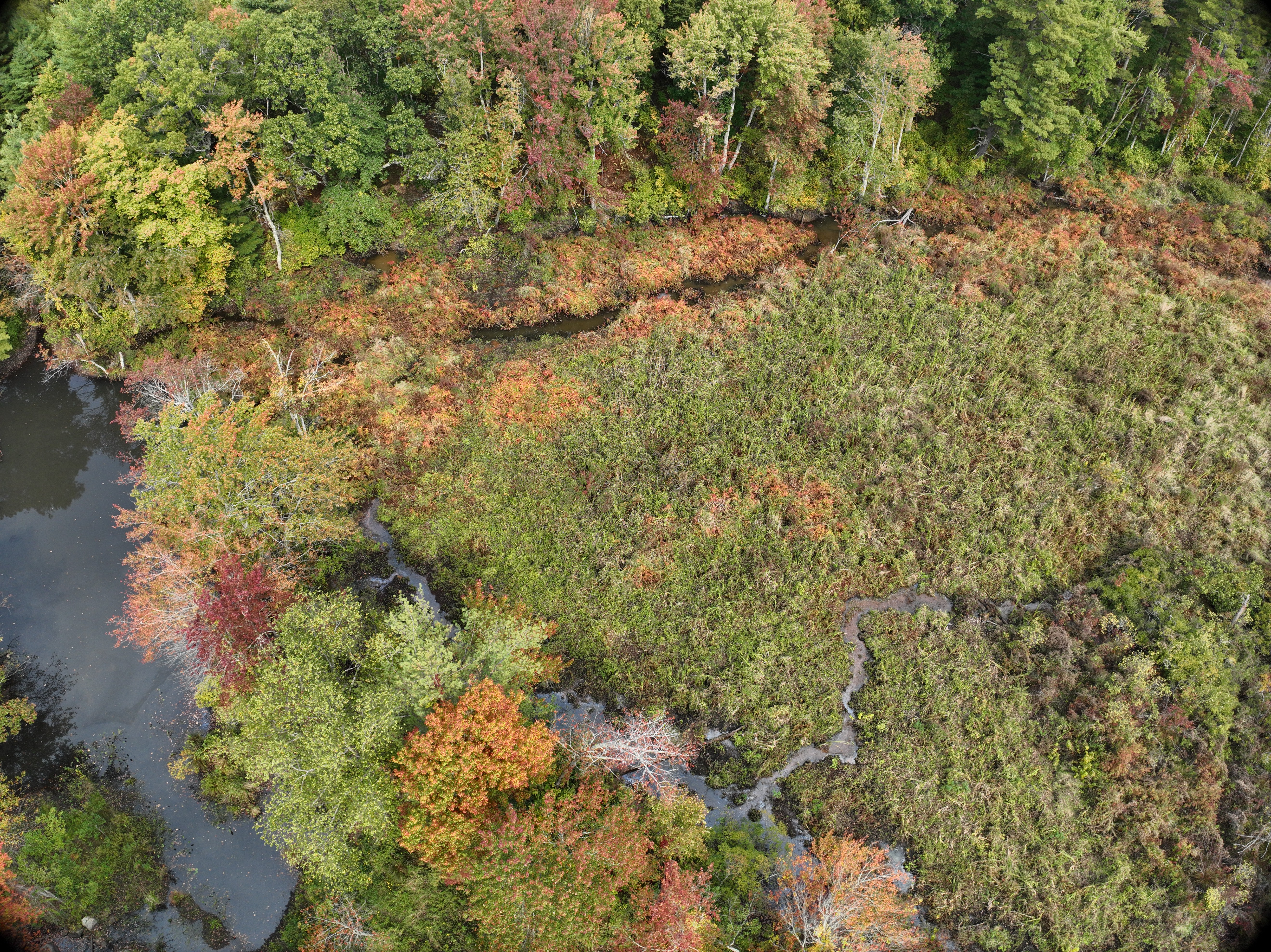
Freelance and hobbyist drone pilots are most well known for their beautiful photography and videography of the local landscape. While Dronah is better equipped for missions involving data collection and analysis, she is also well-suited for taking beautiful images and videos when the desire comes.
The camera is additionally capable of producing tiled aerial imagery, used as a reference layer in catography and mapping.
Missions for the MVPC Flagship Drone
Salt Marsh Restoration
Aerial imagery of marsh wrack sites, bank edge erosion monitoring, and eelgrass restoration surveillance contribute to the ongoing projects aiming to protect and restore our native saltmarshes in the region.
Brownfields Monitoring
Accessing brownfields sites can be both dangerous and pose a hazard to those that cross the threshold. With a drone, data can be collected remotely without ever bringing a living being into contaminated sites.
Community Outreach
High-quality videography and imagery highlight the importance of the natural resources in the Merrimack Valley region from a new bird’s eye perspective.
