Check out MVPC’s latest announcements and activities.
2020 Merrimack Valley Aerial Imagery on MIMAP
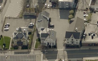
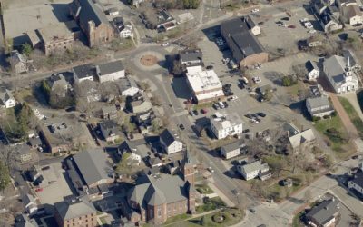
The 2020 Merrimack Valley aerial imagery procured through the Eagleview flights on 4/15 to 4/19/2020 is fully deployed on MIMAP and all our applications.
MVPC Announces Completion of 2020 Aerial Imagery Mission
Eagleview, formerly known as Pictometry has successfully completed the 2020 aerial photography mission for the region.
MVPC Deploys New MIMAP Print Templates for Virtual Working
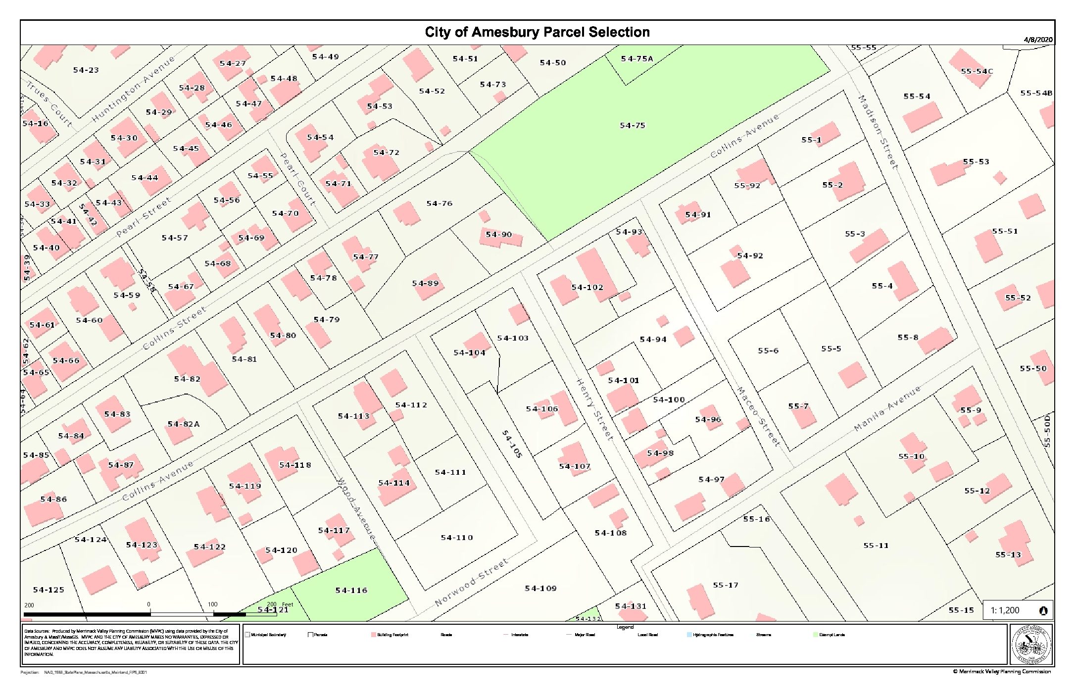
MVPC’s GIS staff have released new print templates for improved map making in MIMAP.
MVPC Awarded U.S. Economic Development Administration Funds
The Merrimack Valley Planning Commission received funding from the EDA to build a public data portal for the Merrimack Valley region.
MVPC presents the DPW Technology Forum
Bringing comprehensive technological solutions to the communities.
20+ Years of Planning with MVPC’s Jerrard Whitten
With the introduction of October 2019, MVPC wants to wrap up September’s Celebration of 60 Years by once again thanking our residents, communities, and officials for 60 years of regional collaboration. We would also like to thank our staff, past and present for their...
Mapping Arts, Culture and Creativity in the Valley
MVPC Leads a First-of-its-Kind Cultural Asset Mapping Project in the Merrimack Valley
This Flight’s Full: Full Participation in Pictometry 2020
This Flight Full: MVPC Announces First time with Full Community Participation for 2020 PictometryFlight since 2007!
