
Transportation

MV Moves – the active transportation plan – builds upon the work that has been completed by previous planning efforts and seeks to advance priority active transportation and place making projects – such as implementing pedestrian amenities (benches, lighting, public art) – that encourage mode shift, create pleasant recreational opportunities, and support economic development in our town and urban centers.
MV Moves has been broken into two parts.
Part 1 – Paths and Nodes – will focus on advancing the Active Transportation Network in October 2024 – September 2025. The Active Transportation Network will be comprised of comfortable paths that allow people to move freely and nodes that converge paths to create connections and concentrations of activity. The information on this page is related to Part 1.
Part 2 will begin in October 2025, the focus will be on the walking and biking experience of districts – urban and village centers.
Plans and Studies
Paths
The Merrimack Valley’s Active Transportation Network (ATN) is made up of sidewalks, off-road shared use paths (rail trails), and on-street buffered and non-buffered bike lanes. The Active Transportation Network will connect people to regional destinations on safe and comfortable pedestrian and bicycle paths. By studying the region’s existing paths and the users’ experiences, MVPC can begin to understand which connections, improvements, and expansion will allow greater access to opportunities for our regional community.

Nodes
Nodes are points where two paths converge. Nodes are where people gather. Often intersections have the potential to be nodes as they are natural points along a route where people stop or slow down. MV Moves will identify potential nodes and enhancements to existing nodes where people want to stop, stay while, and take part in the public life that is happening at that place.

Active transportation is human-powered mobility, such walking, biking or rolling. The Merrimack Valley MPO has set goals to improve access to active modes of transportation to encourage mode shift from driving. Shifting from driving to active modes of transportation has several benefits.

Types of Bicycle Infrastructure
Shared Use Paths – also called trails, multi-use paths, greenways, or bike paths – are active transportation infrastructure shared by people walking, biking, or using other forms of active transportation. The paths are separated from motor vehicle traffic and tend to be ADA-compliant. Typically, shared use paths are paved, but can also be stabilized aggregate, crushed stone, or unimproved natural surfaces. There are different types of shared use paths, such as rail trails, rails with trails, sidepaths, and linear parks. Rail trails and sidepaths are the most common form of bicycle infrastructure in the Merrimack Valley .
Separated Bike Lanes, or protected bike lanes, are for the use of people biking, scootering, or using other mobility devices that travel at greater speeds than people walking. Separated bike lanes are designed for one-way travel along a street with motorized traffic. Separated bike lanes are separated from motor vehicle travel lanes by a horizontal buffer and a vertical element. Often separated bike lanes are at street grade, but can be at sidewalk grade. The buffer and vertical element create protection and a feeling of safety from motor vehicle traffic – resulting in a comfortable space for active transportation. The intensity in the level of protection varies in the design of separated bike lanes and considerably impacts the feeling of safety for road users.
Two-way Separated Bike Lanes are similar to sidepaths, but are for the use of people biking, scootering, or using other mobility devices that travel at greater speeds than people walking. Two-way separated bike lanes are designed for bidirectional travel on one side of a street with motorized traffic. Two-way separated bike lanes are separated from motor vehicle travel lanes by a horizontal buffer and a vertical element. Often two-way separated bike lanes are at street grade, but can be at sidewalk grade. The buffer and vertical element create protection and a feeling of safety from motor vehicle traffic – resulting in a comfortable space for active transportation. Two-way separated bike lanes are implemented when there are no nearby alternative routes or when one side of the street has far fewer intersections or driveways. It takes more work to make sure that intersections are safe for people biking in two-way separated bike lanes.
Bicycle Boulevards, or shared streets, are streets with low traffic volumes and speeds that have been designed to prioritize travel by active modes of transportation. Bicycle Boulevards use signs, pavement markings, and traffic calming measures to discourage cut through traffic and prioritize the movement of people outside of cars.
MV Moves Timeline

Process
Data Collection
In the first two rounds of counting, MVPC will deploy automatic counters at 4 locations across the region for 7 days and record from 6:30 am to 6:30 pm. In the third round, MVPC will deploy a counter at the last completed segment and potentially recount other completed segments. The count data will include user type, direction of movement, time of day peaks, and day of week peaks. The automatic counting will take place September 20, 2023, through October 24, 2023.
Count locations include:
- Methuen Rail Trail at Railroad Street
- Spicket River Greenway at Manchester Park (Lawrence)
- Bradford Rail Trail at Prospect Street (Haverhill)
- Groveland Community Path at Main Street
- Clipper City Trail at Harbor Walk (Newburyport)
- Clipper City Trail at Parker Street (Newburyport)
- Marsh Trail at Lion’s Park (Salisbury)
- Marsh Trail at Gillis Bridge (Salisbury)
- Riverwalk Trail at Heritage Park (Amesbury)
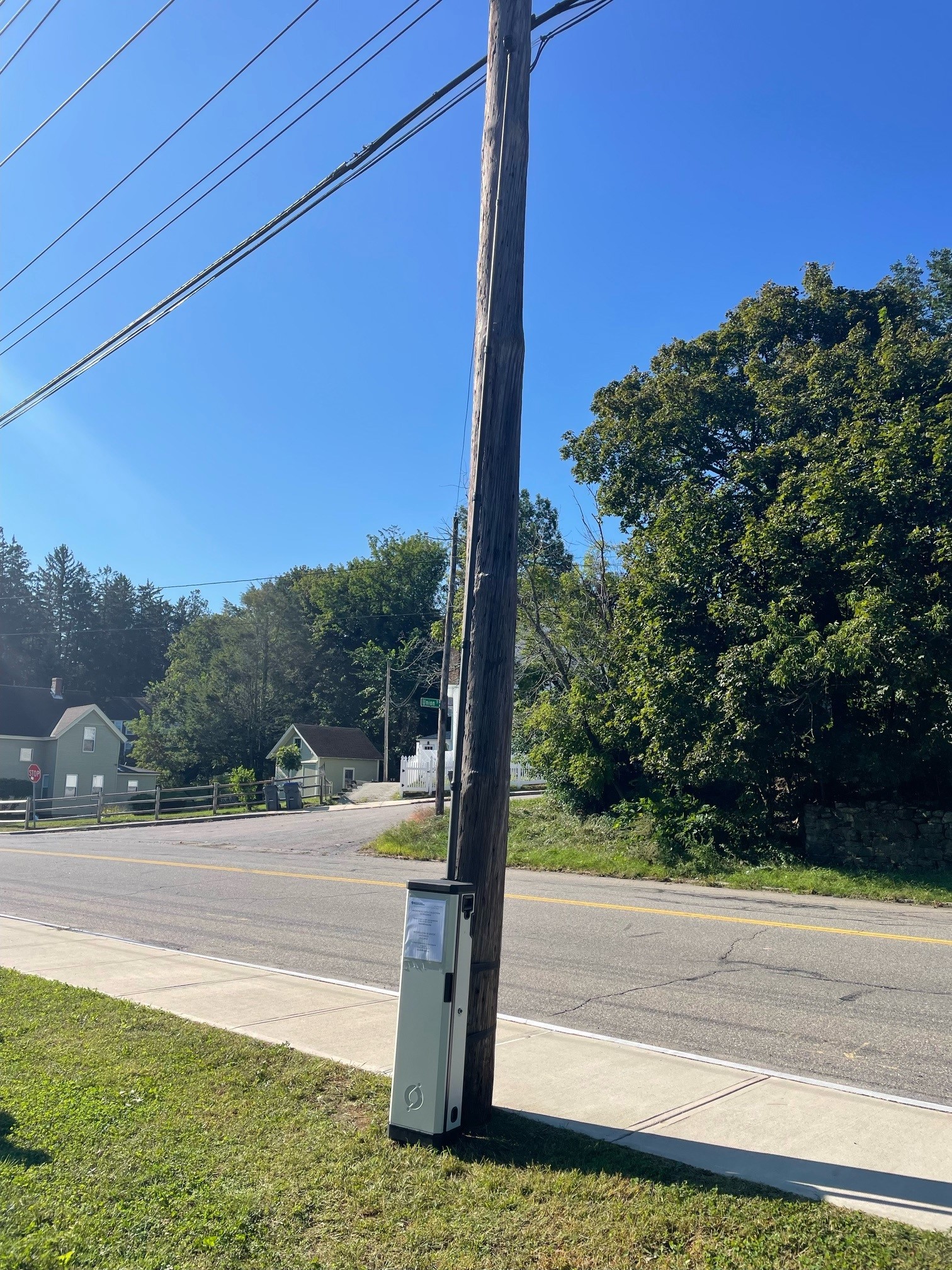
MVPC uses MioVision automatic counters to collect volumes of path users. No facial recognition or other invasive technology is used. The counters distinguish pedestrians and bicycles and the direction in which they are moving.
Path Profiles
MVPC will create profiles of the existing paths that are open and currently in design. The profiles will be built using the user count data and information from our public engagement effort.
Project Conceptualization
Using the data collected and engagement completed during phase 1 of the MV Moves, MVPC will seek to cultivate a short list of high priority active transportation projects to be completed. The prioritized list of projects will seek to close gaps in the network, create access to destinations, and create on-road bike and pedestrian connections to the existing network, and improve existing segments of the active transportation network. Higher priority projects will include further public engagement and conceptual design.
Project Prioritization
The Active Transportation Committee will review the public engagement results and case study before selecting priority projects. The draft list will be released for a 21-day review, before it is finalized. At this point, MVPC staff will work with local, state, and federal partners to identify potential funding sources and a series of steps to complete the projects.
Concept Design
After the public review, the top priority project will receive further public engagement from MVPC Staff and the Active Transportation Committee in collaboration with municipal officials of the project location. The remaining funding for the MV Moves will be set aside for a conceptual design of the project.
Public Engagement
Phase 1 Trail Users and Abutters
MVPC staff set up a table with a short intersecpt survey in the general area that the counts are taking place. The purpose of the intercept survey is to collect information regarding the path users experience that cannot be collected by the automatic counters.
MVPC plans to contact abutting residents about their experience living along the active transportation network. The engagement effort will seek to gain an understanding of the impact shared use paths on resident quality of life.

Phase 2 Regionwide Project Concepts
MVPC will create a publicly accessible map where participants can comment on the suggested conceptual projects.
Phase 3 Active Transportation Committee
The Merrimack Valley Metropolitan Planning Organization will bring together a committee of people who have an interest in advancing an ATN that works for the whole region. The committee will be comprised of demographically and geographically diverse people from municipal, public/advocate, and state official backgrounds. The committee will be charged with attending public engagement events, participating in site walks, reviewing project proposals, and prioritizing the list of projects. To ensure demographic equity, there will be a maximum of two people from each subregion (listed below) and the cities of Lawrence and Haverhill.
Subregions:
- Amesbury, Newburyport, and Salisbury
- Newbury, Rowley, and West Newbury
- Boxford, Georgetown, Groveland, and Merrimac
- Andover, Methuen, and North Andover
The Active Transportation Committee meetings will be open to the public. If you wish to join the Active Transportation Committee, please fill out the form at the bottom of this page.
Phase 4 Public Review
Once the Active Transportation Committee completes a draft prioritized list of conceptual projects, the projects will be reviewed in an online public portal.
Phase 5 Priority Project
Once the top priority project has been identified, MVPC staff and Active Transportation Committee members will engage community members and gather public input on the specific project.